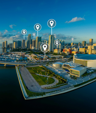
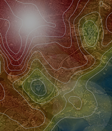
Visualization using spatial analysis, market studies, employment impacts, demographics trends, heat maps, etc
A picture is worth a thousand words. Use GIS to motivate and support your information with compelling exhibits
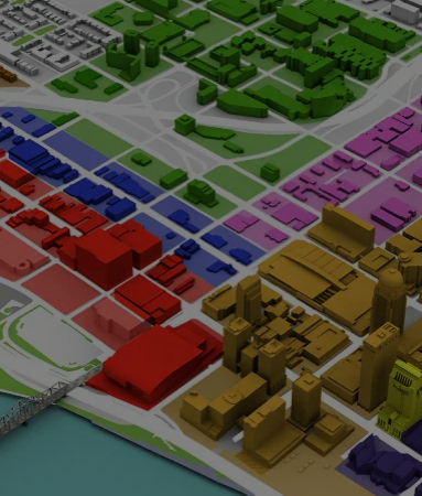
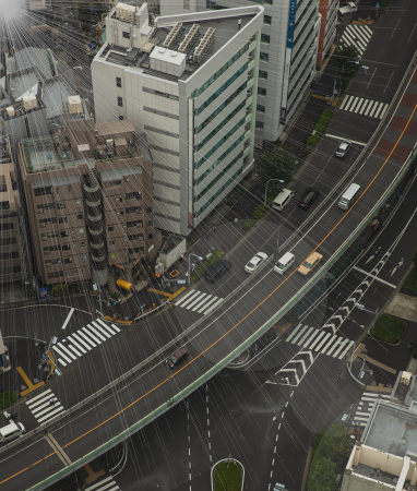
General Planning, Urban Design, Redistricting, Traffic Counts, Land Use Analysis, Improvment Mapping
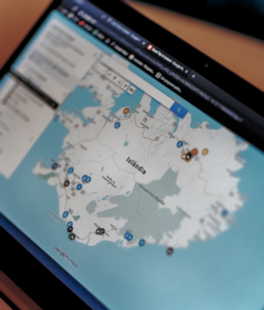
Present GIS layers and attribute information on your website with real-time custom interactive maps
Create maps for improvement districts, such as MUDs, PIDs, and TIRZs to clearly communicate to your audience
Whether it's an hourly rate or fixed fee, I'll work with you to ensure the project stays within your budget