I provide GIS services that support data-driven decision-making for real estate, development, and planning projects across the United States. By combining spatial analysis, custom mapping, and data integration, I turn complex datasets into clear, actionable insights that help evaluate opportunities and understand market conditions. My services include spatial modeling, interactive maps, trade area analysis, and data visualization tailored to your project goals, using demographic, economic, and land use data to support everything from early-stage feasibility to final presentation.
For site selection, I identify high-potential locations using demographic trends, traffic patterns, and proximity analysis, delivering site comparisons, heat maps, and ranking models that help developers and investors make confident, data-backed decisions. I also provide demographic analysis to better understand population trends, income levels, and consumer behavior, helping align projects with market demand and highlight opportunities for growth through clear, easy-to-use reports and maps.
Identify the best opportunities by providing spatial analysis, market studies, and demographic trend reporting to help you understand the area you're working in
I transform complex data into compelling visual exhibits that motivate decision-makers and provide clear, defensible support for your project goals
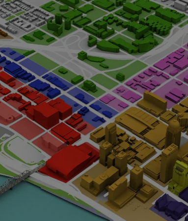
Analysis for planning and zoning. Comprehensive spatial studies and land use assessments to serve as the technical foundation for your development projects
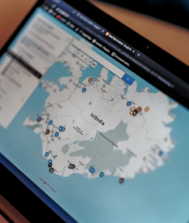
Custom, real-time interactive maps that allow you to present GIS layers and attribute information directly on your website for seamless stakeholder engagement
Specialized mapping for MUDs, PIDs, and TIRZs. I provide expert metes and bounds conversion and traverse closures to clearly communicate district boundaries and improvement plans to stakeholders and the public
GIS expertise without the enterprise overhead. Whether working on an hourly or fixed-fee basis, I offer flexible, scalable solutions tailored to meet your project’s specific budget and timeline