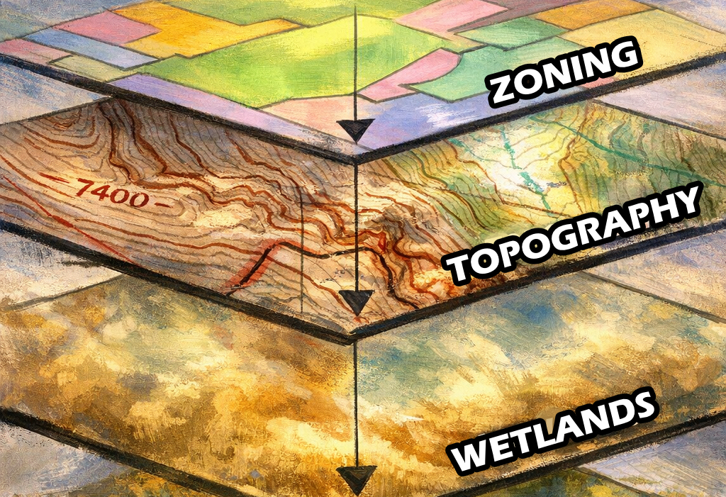
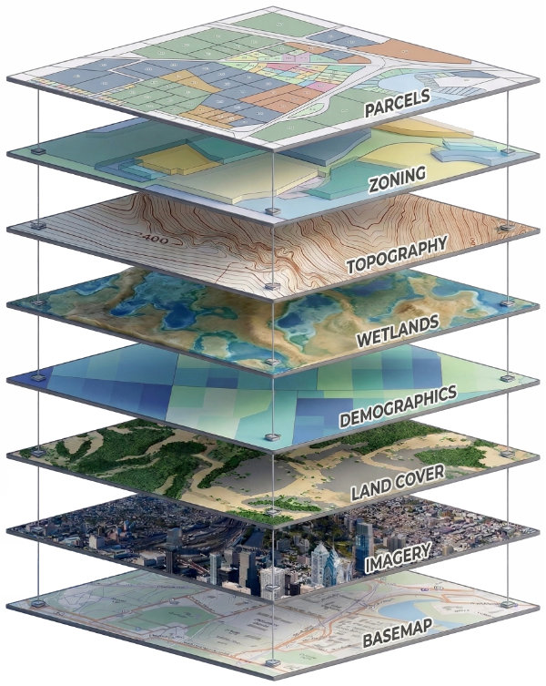
In Simplest Terms

GIS (Geographic Information Systems) is a framework for capturing and analyzing data through the lens of location. It transforms raw data into visual intelligence, revealing patterns and relationships that stay hidden in a standard spreadsheet. Click here for a better understanding of GIS data layering.

GIS Layers Diagram © 2014 Adam Gage
© 2014 Adam Gage | View Licensing & Usage Terms
Click anywhere to close

In More Detail

Layered GIS Example

At its core it's a more sophisticated database that "thinks" spatially. Unlike a traditional map that only shows you a fixed picture, GIS links physical locations with limitless layers of data to real-time market demographics. This connectivity allows us to query the map like a search engine, finding specific intersections of geography and data that meet precise project criteria.

By layering variables such as traffic patterns, environmental constraints, and zoning regulations over a physical landscape, we can visualize the "why" behind the "where." This process turns abstract data points into actionable insights, revealing competitive advantages or potential site risks that are invisible on the surface.

Ultimately, GIS serves as a decision-support engine for development and site selection. It streamlines the analysis process, reducing the time between raw data collection and final site validation. By providing a unified, visual source of truth, it enables stakeholders to move forward with confidence, ensuring that every development decision is backed by comprehensive spatial intelligence.

What is geographic data?

It's any piece of information linked to a physical location on the Earth's surface. While you can source this data from third-party vendors or government agencies, most companies are already sitting on a goldmine of spatial information without even realizing it. It’s the "where" that gives context to your existing business records. Such as:

These details are more than just entries in a database; they are vital business assets. Whether your information lives in a simple spreadsheet or a complex SQL Server environment, geographic data allows you to pivot your perspective. By looking at your data through a spatial lens, you can gain deeper insights, predict market shifts, and make development decisions with a much higher level of certainty.